Kautokeino – Kilpisjärvi (Finland)
06 June 2017 – 14 June 2017
9 Days
125 km (+278 km by car)
TOTAL: 516 km
06 June 2017 (Tuesday) – near the E1 path, close to Madam Bongos Fjellstue
Distance: 17.5 km
On Tuesday we anxiously packed our stuff and went to the post office, hoping there would be other employee speaking a little more English. The gentleman looked on the shelves again and unfortunately found nothing. We asked him nicely if he could call the customs office on our behalf. It turned out that the package was stuck on the border, but he managed to get it sent back to Poland. We still did not know what was the reason for stopping the parcel, but we were very grateful for the help. However, we had to sort things out, because in this situation we needed to buy more food. We also stopped at the local shoe store and bought rubber sandals with the intention of using them for river crossings. We both did not find the right size, but we chose something anyway. As it turned out later, we were very happy with this purchase.
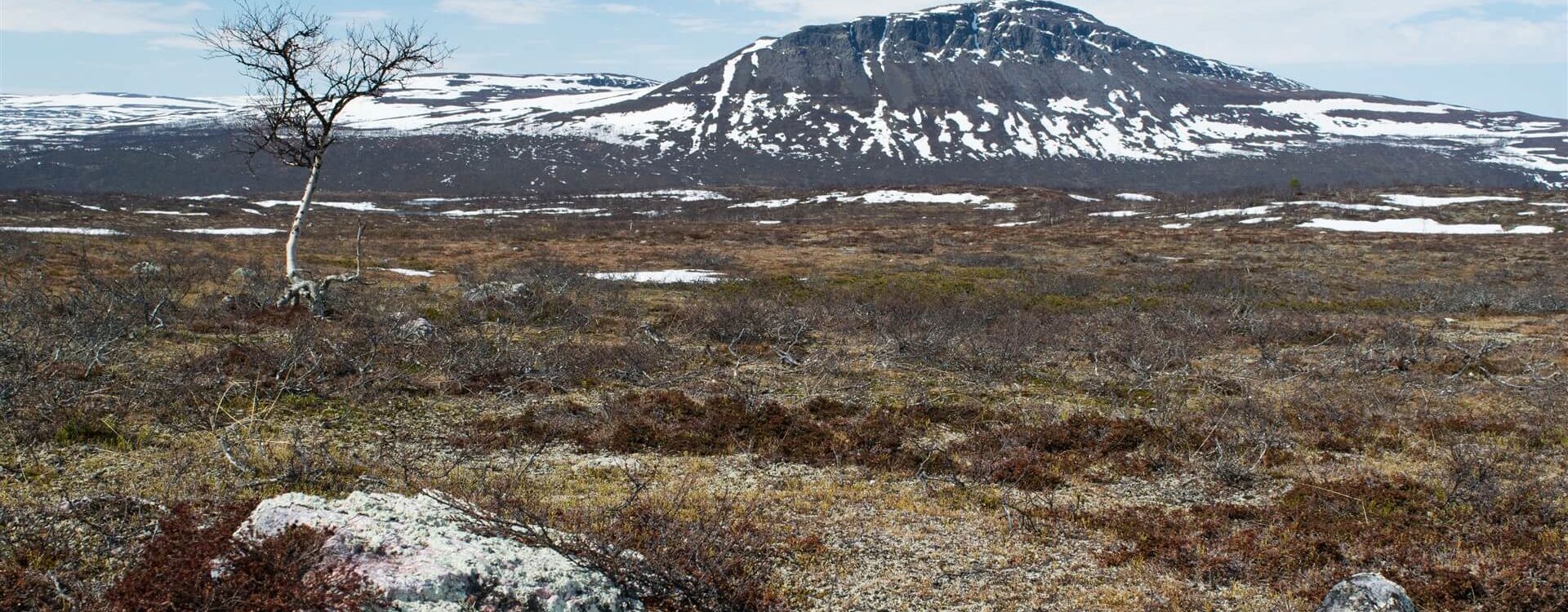
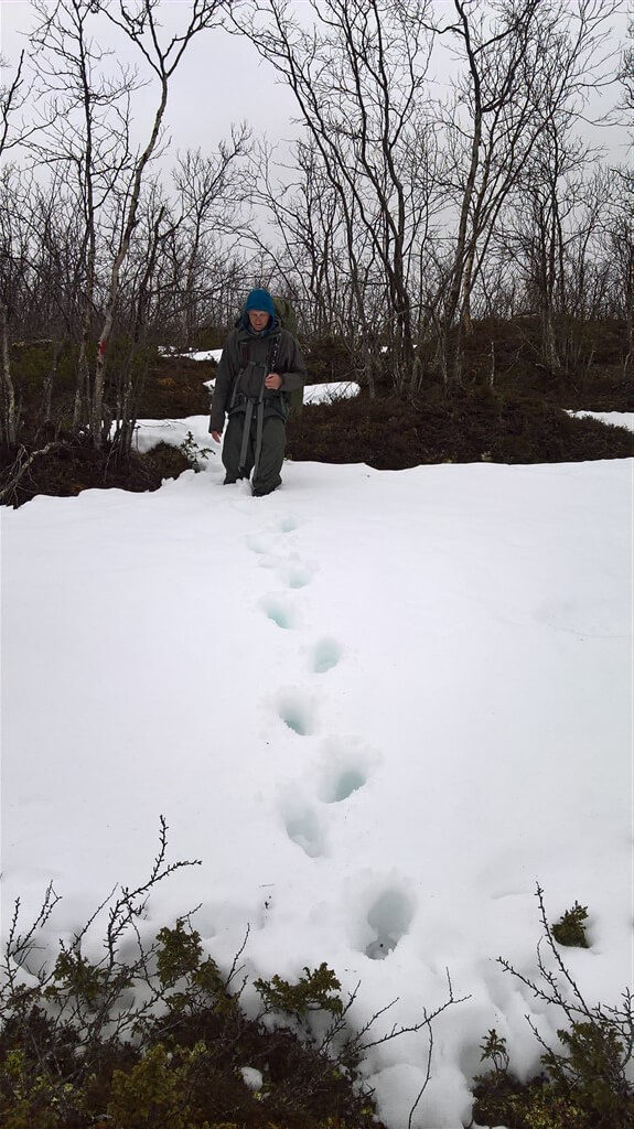
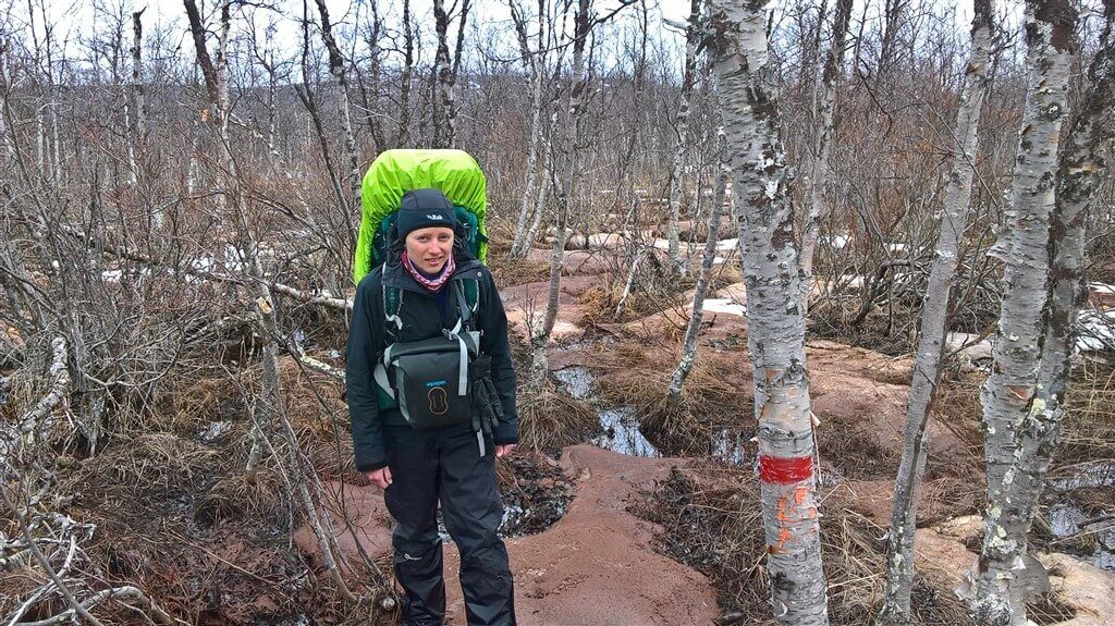
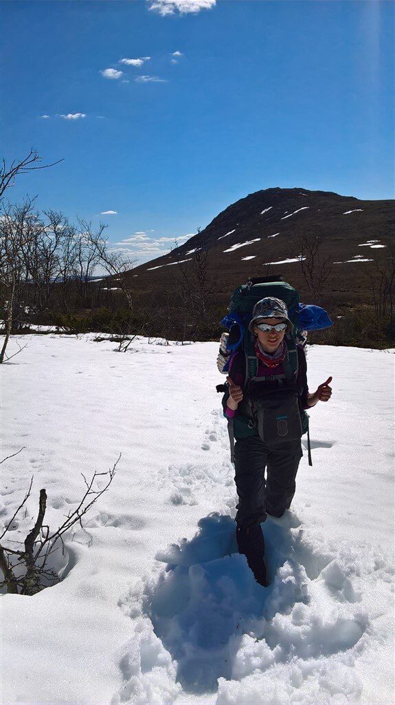
Starting from Kautokeino, as we decided, we got on to the E1 trail. As the path at this stage goes at fairly low height, we hoped, it would be less snow, and we will be able to move forward at reasonably peace. Just in case we had the option to retreat or change the route. We started on the road, then moved to a muddy path and finally we walked on the snow as well. A grey landscape all around with patches of white snow. We were moving forward, slowly, but most important for us was that we could actually walk. The further, the more snow and water in all forms, talk about water at length. Our boots quickly took the water and became an extra weight.
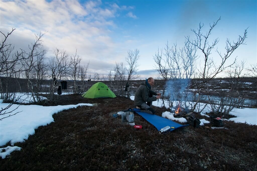
In the evening we came to our first river crossing. The river was wide with rocky bottom. We stood for a moment, evaluating our chances and looking for the best place to cross. Seeing that we couldn’t do otherwise, we put on the sandals, rolled up our trousers up and got into the icy cold water. We stopped on larger stones few times, just to warm up our feet and plan the next move. It took us a while, froze our feet, but we managed to get on to the other side. It got quite late, so we camped by the river. Happy that we managed to walk so far in this terrain, we made a small campfire and sat down till late, exchanging our impressions.
07 June 2017 (Wednesday) — near the E1 path, about 4 km from Reisvannhytta
Distance: 28.5 km
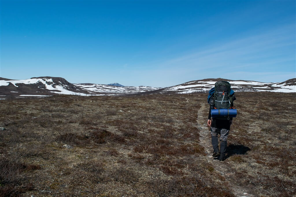
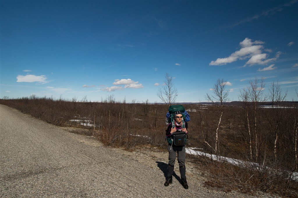
Next morning, walking on the snow and in the water, we came to a minor road, which we followed for the next twenty kilometres, and then we got back on the trail. The weather was beautiful, no clouds in the sky and it was very warm. We took off our rain coats, for the first time in three weeks! Unfortunately there was probably too much sun, because Marcin’s head got very hot, and he ended up with severe headache and convulsions. He took some pills, slept well at night and it the morning he felt much better.
08 June 2017 (Thursday) — near the E1 path, by the Njárgajohka river
Distance: 13.5 km
Further on, the path wasn’t that demanding, but unfortunately snowdrifts and omnipresent water coming from the melting snow make the hike difficult.
After dinner, we came to our first obstacle — haft frozen marsh. We managed to walk some of it on the snow, but when we reached the brook, we just had to take our shoes off and get into the icy water. We crossed the brook and then walking on the ice partially under water and then on the snow, we came to a big river. Our feet were frozen, and snow was getting inside our sandals and it felt like hundreds of needles being pushed into the skin. We found a convenient place to descend from the snow into the river and with one stop at on the islet in the middle of river, we reached the other shore. We dried and warmed our feet and moved on. Few other streams and rivers we managed to jump over or walk on the stones.
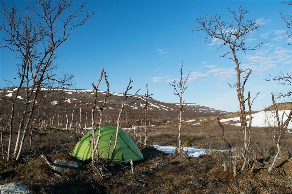
In the evening we arrived at the Njárgajohka river, which from the map seemed to be a big obstacle and so it was. As wide as 25 meters, did not look good at all. The fast current carrying ice floe washed the shores off. The rock with the trail marking was deep under water. We stood on the shore evaluating our chances of crossing. Without seeing the bottom of the river, knowing how cold the water is, having heavy backpacks, we decided that we have no chance of crossing without risking too much. We checked up and down the river, but it did not look any better. Well, life it is, we said, we will have to turn back. We set up the camp and were getting used to the thought about tomorrow’s retreat.
09 June 2017 (Friday) — by the Lágosjohka river, about 10 km from Nedrefosshytta
Distance: 16.4 km
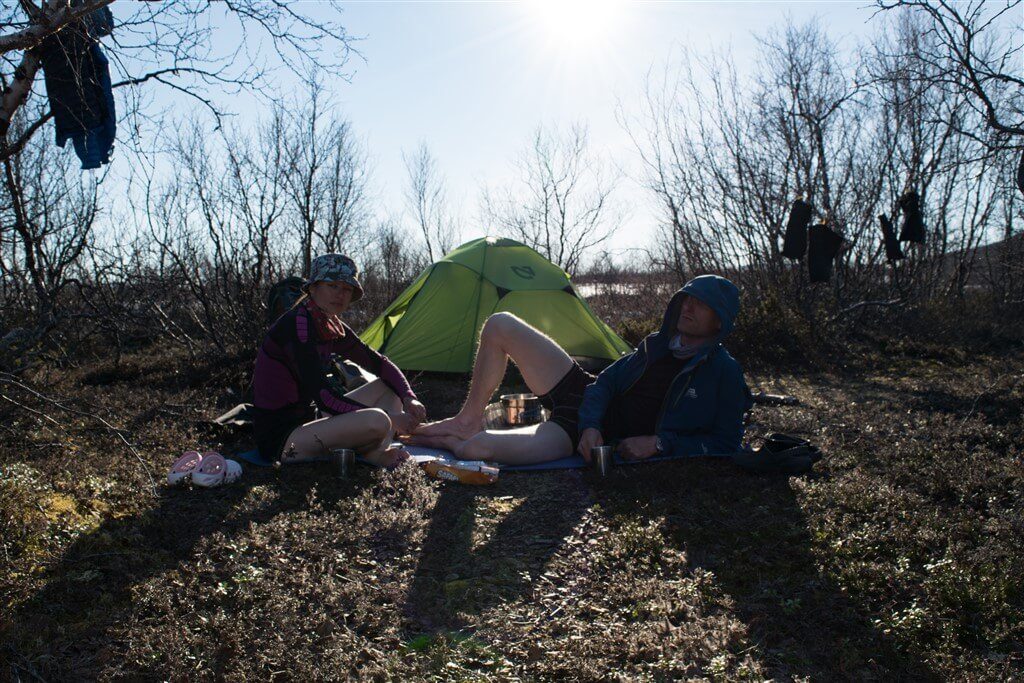
In the morning, Marcin went to the river, to check the water lever. With the sun shining from the backs you could see the river bottom, and the water seemed calmer than in the evening. Marcin took the walking sticks he made yesterday and decided to do the test and cross the river. He managed, without any problems. He came back, crossed with one of the rucksacks while I was packing the camp. Then we went together. Happy and full of hope that the most difficult obstacle was behind us, we sat on the shore and ate breakfast while our frozen feet were recovering.
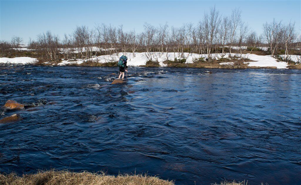
We reached the height of about 500 meters, crossed several streams, rivers, marshes, in boots or sandals, we gained experience and skills in crossings. In the early afternoon, we came to another obstacle. Here we did not expect situation like this, the river from the map looked much smaller than Njárgajohka, and had a rather narrow riverbed, but was carrying so much water that was probably two meters deep. The water coming from the melted snow, flowing at high speed, was bursting river banks. So close to the other shore and so far away. With such a level of water, it was impossible to cross that river. We walked along both ways trying to find another place for crossing but found nothing. We checked the map thoroughly and our only option (except of retreat, which we both honestly dislike) was to go up the river, where it was splitting into two, hoping there would be less water. We managed to cross one of the stream. The second one, unfortunately stopped us, again. We tried to go up the stream, again, but this one was splitting into several dozen or so and it did not look any better for crossing. It got quite late. Resigned, with our minds set for retreat, we set up the camp.
10 June 2017 (Saturday) — by the Njárgajohka river
Distance: 23.4 km
Next day we slowly began to retreat along the river. As the sun shone in our backs, and the water level was lower in the morning, in one place it seemed like the river looked friendlier. We had a quick look, chosen the place and for our immense joy we managed to cross to the other side. Once again it turned out that it was better to cross the rivers in the morning, because after a cold night the snow is frozen, and there is not so much water coming down the rivers. Once again glad to not going back, we moved forward eagerly. The weather was in our favour, and we were in good moods. At least until we came to another river, Luvddiidjohka, which split into three smaller rivers. Two of them we managed to cross without problems, but when we got to the last one, this stopped us for longer. At the place where the path went, accumulated water was flowing at great speed. The river flowed from the mountains through a rocky gorge at high speed, and because was carrying huge amounts of water (what you could clearly see looking at the banks) created a barrier we could not pass. We checked up and down the river. We found one place where we were able to cross halfway, but the last one and a half meter it would be a jump into a deep and fast current without any possibility of protection — we could not take the risk. We checked all the options, but having crossed few rivers now, we knew that even if we will somehow cross this one, there will be more, which could stop us, and moving further would only complicate the possibility of going back. We had to take into consideration our limited food supplies and the distance to the nearest supply point. We sat down by the river and made a final decision about the retreat. Although we both honestly dislike retreats, it was the most reasonable option.
Since we already knew the way, and knew where to cross the rivers, the way back went quite smooth. Yet the rivers we crossed in the morning with water barely above our knees, in the evening the water reached our hips. Late in the evening we came to the big Njárgajohka river. And here we realized how dramatic was our situation. The level of the water rose so much, that at first glance we knew we were stuck. All the rocks were under water, the banks flooded, and where we had our breakfast the other day, there was water. The situation has changed dramatically. A couple of days ago we wanted to be on this side, and now we would like to go back in time. We mistakenly assumed that if we cross the river one way, we will manage the other way as well. Not quite yet accepting what this might mean to us, we set up the camp. Marcin put a stick on the edge of water, just to monitor the levels.
11 June 2017 (Sunday) – by the Njárgajohka river
Distance: 0.0 km
In the morning the situation did not look any better, the water was calmer, but still high. We considered our options. In fact, at the moment we were stuck, from one side a broad river not passable, from the other side a fierce river, also not passable. Going along the river for the moment did not make sense, because as we have already found out, when the river carries large amounts of water, it is difficult on every stretch. We checked our food supplies, reduced our rations and prepared ourselves for long wait.
The Sun was shining, but we were not happy about it, because it was the sun that caused our difficult situation. The Sun melted the snow, and all that was going down the rivers. The wind was cold, so we spent most of our time in the tent. We did quick laundry, dried up what we could, we used solar energy to charge our electronic equipment. However, we could not fully relax, because we weren’t sure what will happen.
12 June 2017 (Monday) — by the 93 road, close to Kautokeino
Distance: 20 km+30 km by car
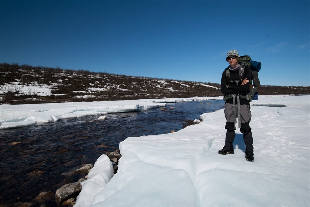
Early in the morning, about five, I quickly run to the river to check the levels. There was slightly less water comparing to the morning before, so one of our stepping stones was above the water. I quickly got Marcin, he also had a look, and we decided that this was our chance. There was more water, than when we crossed it first time, but we should be able to cross it. It was very cold, the sun was shining, but wasn’t warm enough yet, and probably thanks to that, the water went down a little, because during the night the snow froze and wasn’t melting. Marcin went with one backpack first, then came back, and we crossed together. On the other side we quickly put our camping mat on the ground and were jumping, partially for joy but above all to warm our frozen feet. In the meantime, we had breakfast, and then we could move on.
Even though the most difficult river was behind us, we were still worried about another river and some big marshes, which caused us some troubles. And our worries has been realized. Only two days later, but situation has changed radically. We crossed the river, but the water instead knee heigh, was crotch heigh. And the frozen marshes, which we crossed on ice, became a small lake! All the ice and snow have melted. We crossed it only because, we knew the way, and because we crossed it once before. Otherwise, we probably wouldn’t decide to cross a proper lake! It was wide, but as the water was still, it wasn’t so cold and there wasn’t any currents, which made the passage easier. Water as heigh as tight and even more in places. Once we crossed the marshes, we walked little further, and then stopped for well-deserved coffee and biscuits, which we could feast on, not being restricted by limited portions. We have never before were so pleased with any retreat.
Without any more problems we got to the asphalt road, the snow on the paths was almost gone. We started towards Kautokeino. We have walked only a few kilometres, but as soon as we heard the oncoming car, I quickly put my thumb up and very nice gentleman gave us ride to town, saving us a day and a half of walking on the asphalt. At the tourist information in Kautokeino we found out that the buses to Kilpisjärvi run only in summer. So we did some food shopping, went out of town and camped. Once for all we could eat whole portion of nuts, without any regrets. Although we came back to the same place from where we started last week, but we were glad we managed to come back. It was a very good lesson for us and a very important experience, how the weather conditions can change the situation.
We thought that the biggest obstacle on our route would be snow, and it turned out that it was water that stopped us.
13 June 2017 (Tuesday) — near the E1 trail, Kilpisjärvi, Finnland
Distance: 3.0 km+245 km by car and bus
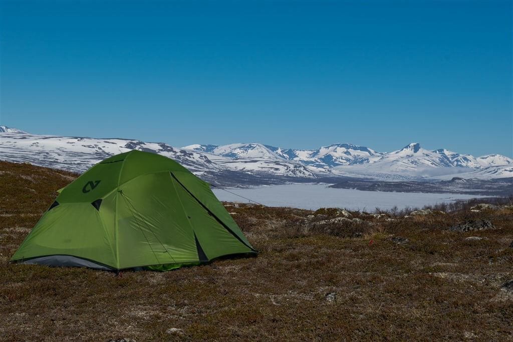
In the morning we walked further along the road, hoping to hitch-hike. We did not get far and after a third attempt we were sitting in the car. We chatted and not knowing when, we were already 150 kilometres further on, in Finland. And we even received sweet buns with raisins. He dropped us off at the petrol station in Karesuvanto, where we managed to catch the bus and in and hour and a half we arrived in Kilpisjärvi. The bus ended his route by the supermarket. We did some shopping for two days and following the E1 path, we left the village to find a place to camp. We walked a little uphill and found the nicest place so far. Maybe it was not quite even surface, but we had an amazing view of the beautiful panorama of snow-caped Finnish peaks. The sun was still quite high, and we could eat dinner in this beautiful scenery, and relax after those few stressful days.
14 June 2017 (Wednesday) — Kilpisjärvi Hikingcenter, Finnland
Distance: 3 km
In such a magnificent place, one does not mind being awakened early in the morning, by the sun shining though the mist. Wonderful morning. We anxiously looked at these snow-covered mountain in the distance — it’s where the E1 path goes.
Just before midday we arrived at the campsite, where another parcel was waiting for us. We sorted ourselves out, clearing up week’s old dirt and burden of our backs. Using computer at the campsite, we looked for options for walking next stage. Going across the mountains was not really a possibility, there was still too much snow, which was melting as well. We had the options of following the roads, staying in Kilpisjärvi for a week or two, hoping the situation will improve, or look for alternative paths going through Sweden. Our situation was complicated by the fact that our parcel, which we sent from Russenes to Abisko, had not passed customs and was on its way back to Russenes. We did not know what to do. We stopped at the campsite to relax, and although our bodies were resting, we could not relax fully.
